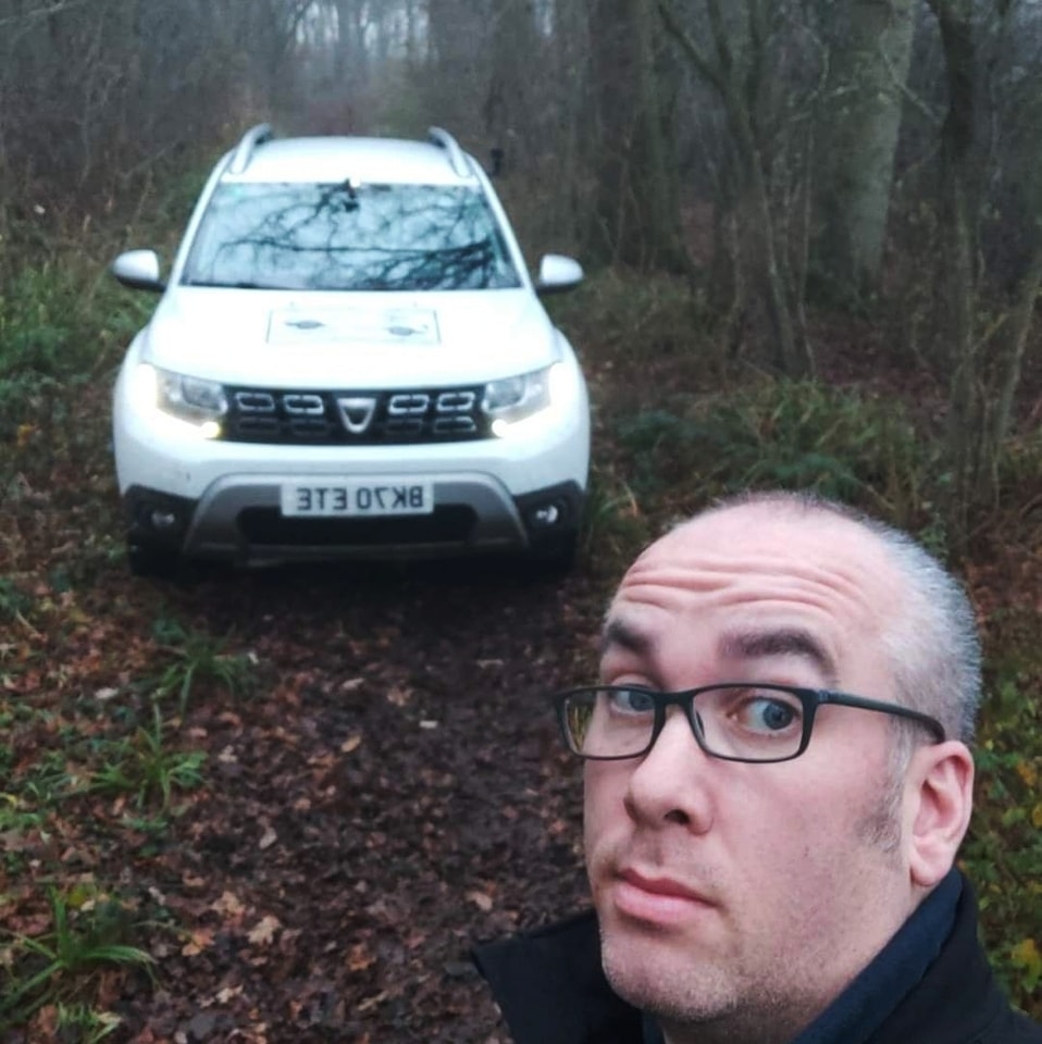
If I’m ‘Live’ it’s usually a signal to say come and say hello!
The live tracking display, providing I have a phone signal will show you accurately my position in near Realtime (Roughly a 2 second delay) and usually there will be a route loaded on the map so you’ll get a rough idea of where I’ve been and where I’m headed (click here to see an example the pink circles are destinations)
Last Trip Shown: 20th March 2025 – Parts run!
You’ll need to compare my last recorded position on the maps info bar to the time now to determine if I’m tracking in near real-time.
Map controls:


You may need to stop live tracking using the controls to work out my current position in relation to where I plan to go, the planned route will be shown as straight lines (NOT following the roads), each point where the line changes angle/direction is a place I’m heading to so once you see that you can head to that part using a sat nav etc. When you’ve pressed play on the controls my current position is centred and it’ll remain locked on to my last uploaded position.
In the map you’ll see the trip distance, speed and last time the location was updated.
If the speed is showing as less than 10mph but the location is still being updated the I may be stopped for some reason if the speed is above 10mph and the updates have stopped the I may have lost signal and the positions will be re-uploaded in the order they were recorded until it catches back up to Realtime reporting, you can check this by comparing the last recorded position with the current time shown above.
